DETROIT METROPOLITAN FLYSAFE DRONE DIGITAL INFRUSTRUCTURE
THE DETROIT REGION AEROTROPOLIS IS BUILDING HIGHWAYS IN THE SKY.
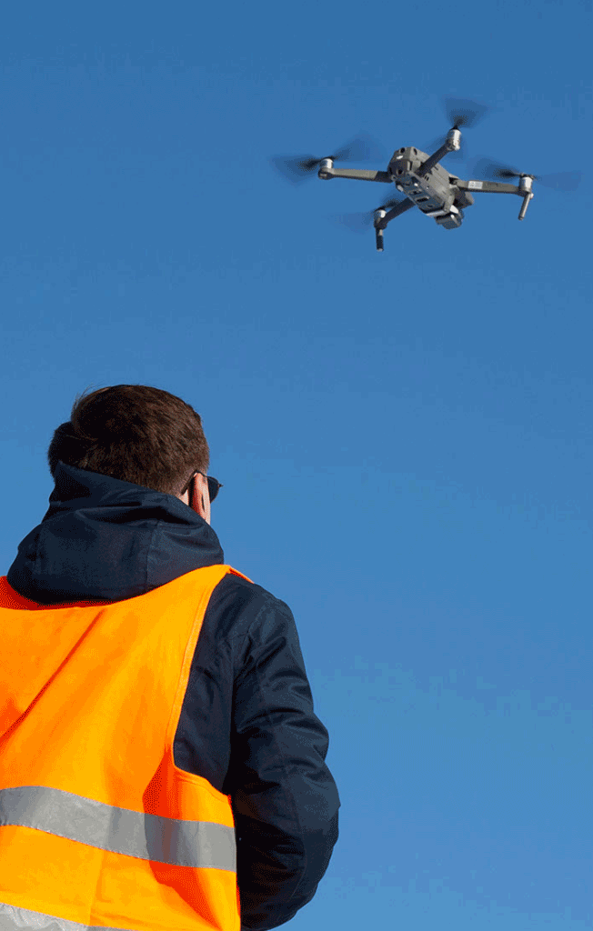
The Detroit Region Aerotropolis provides the digital infrastructure to safely integrate drones into the national airspace and our communities at scale. The Aerotropolis provides data into the AirHub® Launch platform that is an FAA approved – Low Altitude Authorization and Notification Capability (LAANC) UAS Service Supplier. Residents and businesses can leverage the most sophisticated pre-flight risk assessment, greater situational awareness, and the opportunity to receive automated FAA-approved LAANC approval to fly in local controlled airspace (under 400′) in just two clicks. The Aerotropolis is home to two airports: the world-class Detroit Metro Airport that provides international non-stop daily flights, and Willow Run Airport, an international cargo airport.
WHAT IS LAANC AND THE FLYSAFE PROGRAM
LAANC stands for the Low Altitude Authorization and Notification Capability. It’s a partnership between the FAA and private industry (like Airspace Link) to safely integrate small drones into the national airspace. Flying around or near controlled airspace is strictly regulated by the FAA. All Part 107 and recreational drone operators require FAA LAANC authorization before an operation can take place in controlled airspace. The good news is that now you can receive LAANC authorization in just seconds! LAANC is now available with all the Aerotropolis air traffic facilities and airports.
HOW TO GET STARTED
Step 1: Create New Pilot Account
- Register your drone with the FAA if needed
- As an Aerotropolis AirHub® Launch pilot, you’ll see when and where you can receive automated approvals from participating Air Traffic locations. You’ll need access to your email address to validate your account but can be creating new LAANC submissions in just a few moments.
Step 2: Find Operation Location OR Fly Now!
- After creating your account and logging in, locate the operation location using an address, a name, or perhaps just the geographic coordinates; or feel free to manually navigate using the map. The app will visualize FAA data as you navigate.
- You may also click the Fly Now! button which will allow operators to create a flight by automatically creating a circle sketch at their current location. This, coupled with the app now pre-filling the Operation Name, allows for creating a flight in just two clicks!
Step 3: Define Operation Parameters
- The basics of an operation consist of a name, a start time (and duration), the pilot in command (who will be operating or supervising the drone), and the area you intend to fly. Don’t worry, we’ll help make sure you stay on track as you input your data.
Step 4: Request Authorization from FAA
- The 4th and final step is to request authorization from the FAA (if necessary). We’ll let you know if submission is not required. Sometimes the operation is divided up into multiple areas if we need to submit to different Air Traffic Control. We’ll handle that too.
ADVANCED UAS OPERATIONS
For advanced UAS, drone delivery and Advance Air Mobility (AAM) infrastructure and support in the region, contact:
Christopher Girdwood
CEO
11895 S. Wayne Rd. Suite 101A
Romulus, MI 48174
734-992-2286
Email


